Coastal Defence Phase 2 Progress Pictures Sept 2014
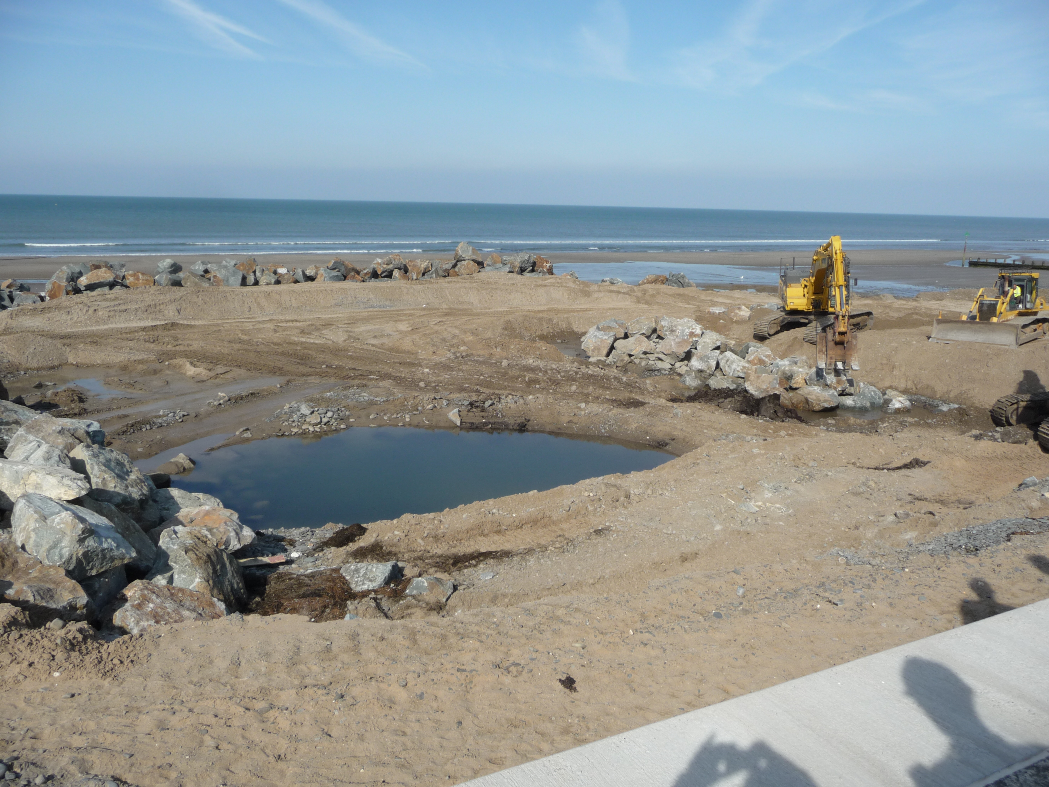
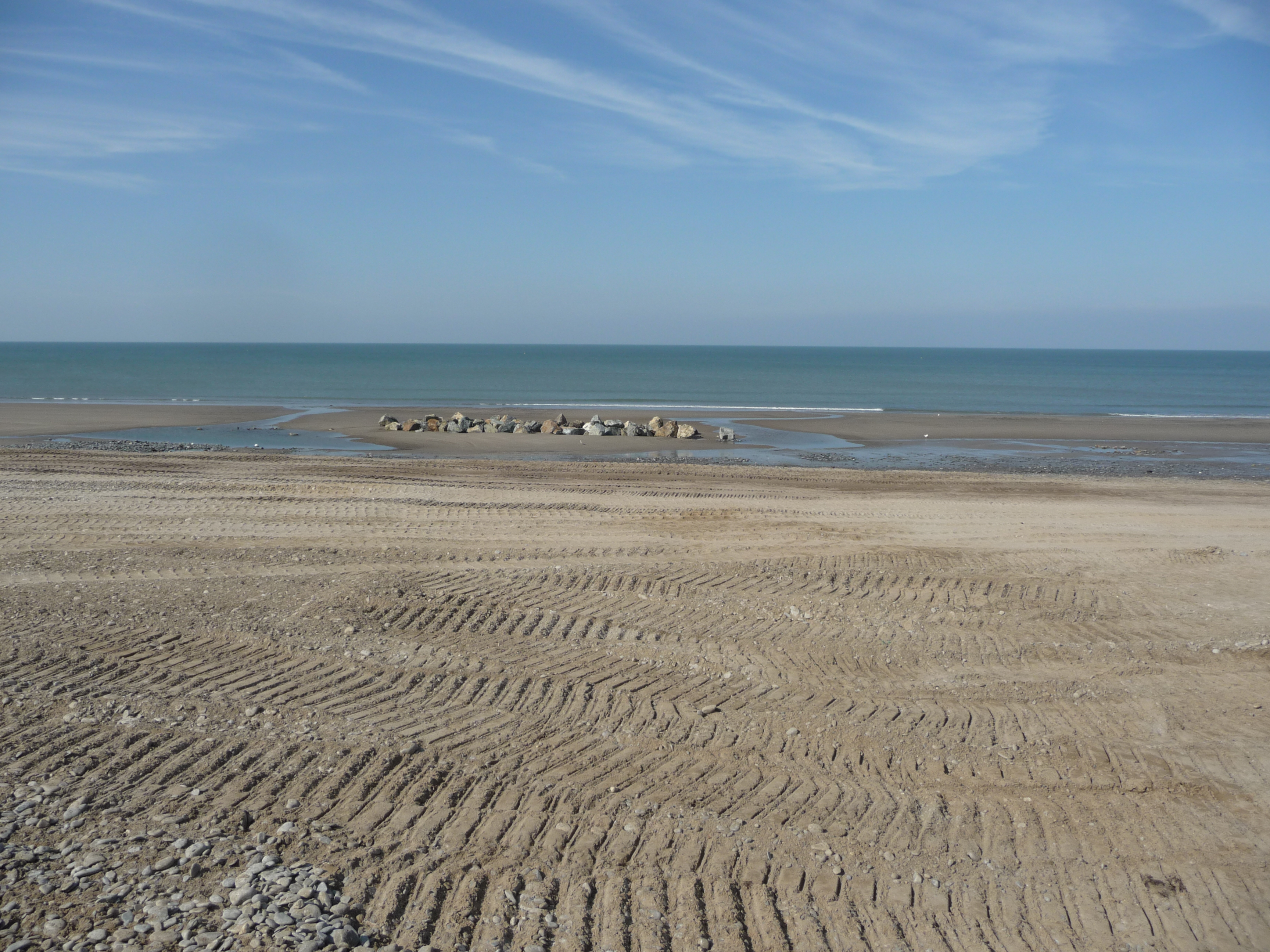
Different shaped Groyne 2 the most northerly structure and the first to be started
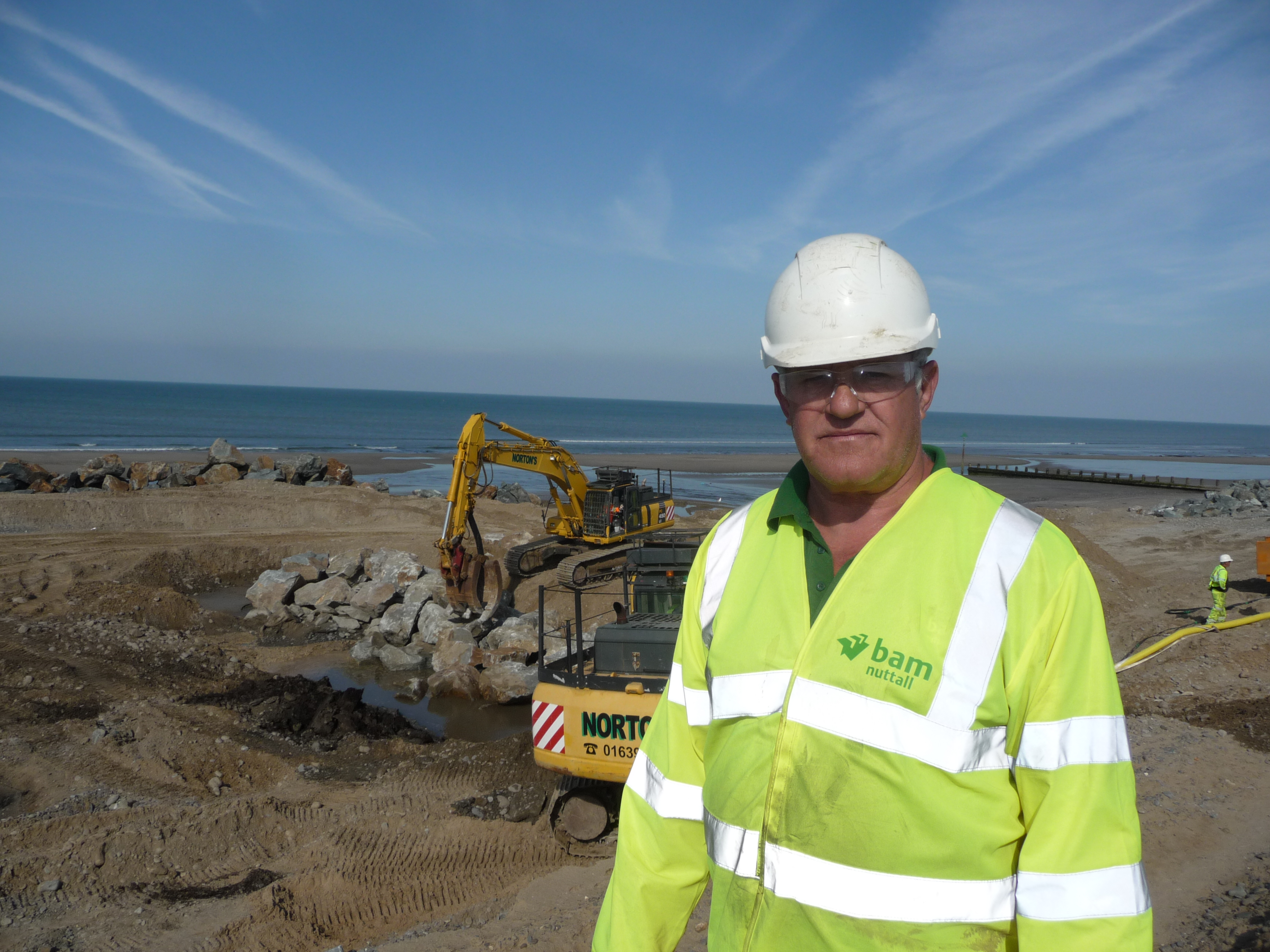
Graham Randell (Foreman) responsibile for keeping the work progressing throughout high & low tides
Water is pumped out of the base of groyne 2 to allow the rocks to be placed in the correct GPS position
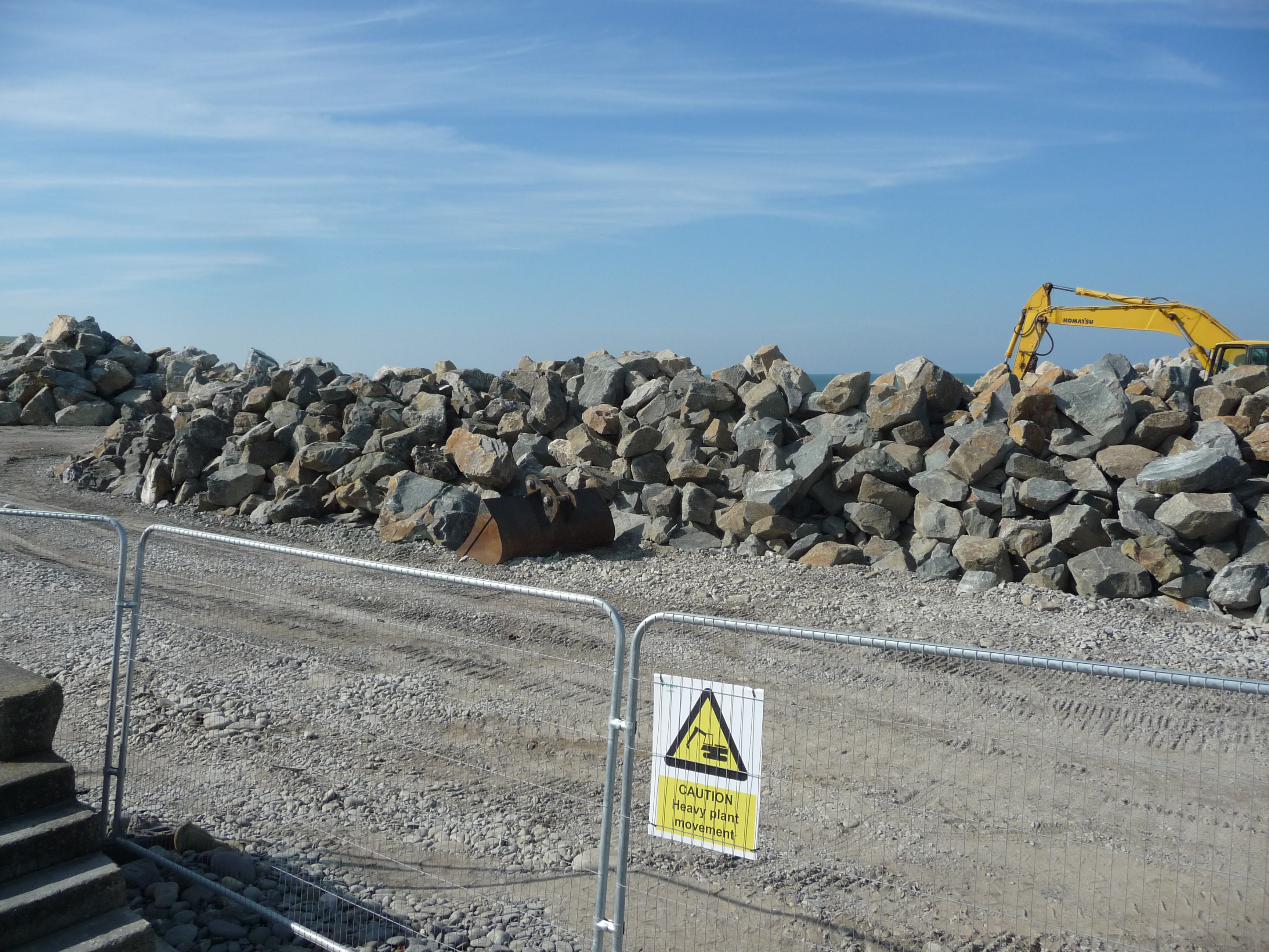
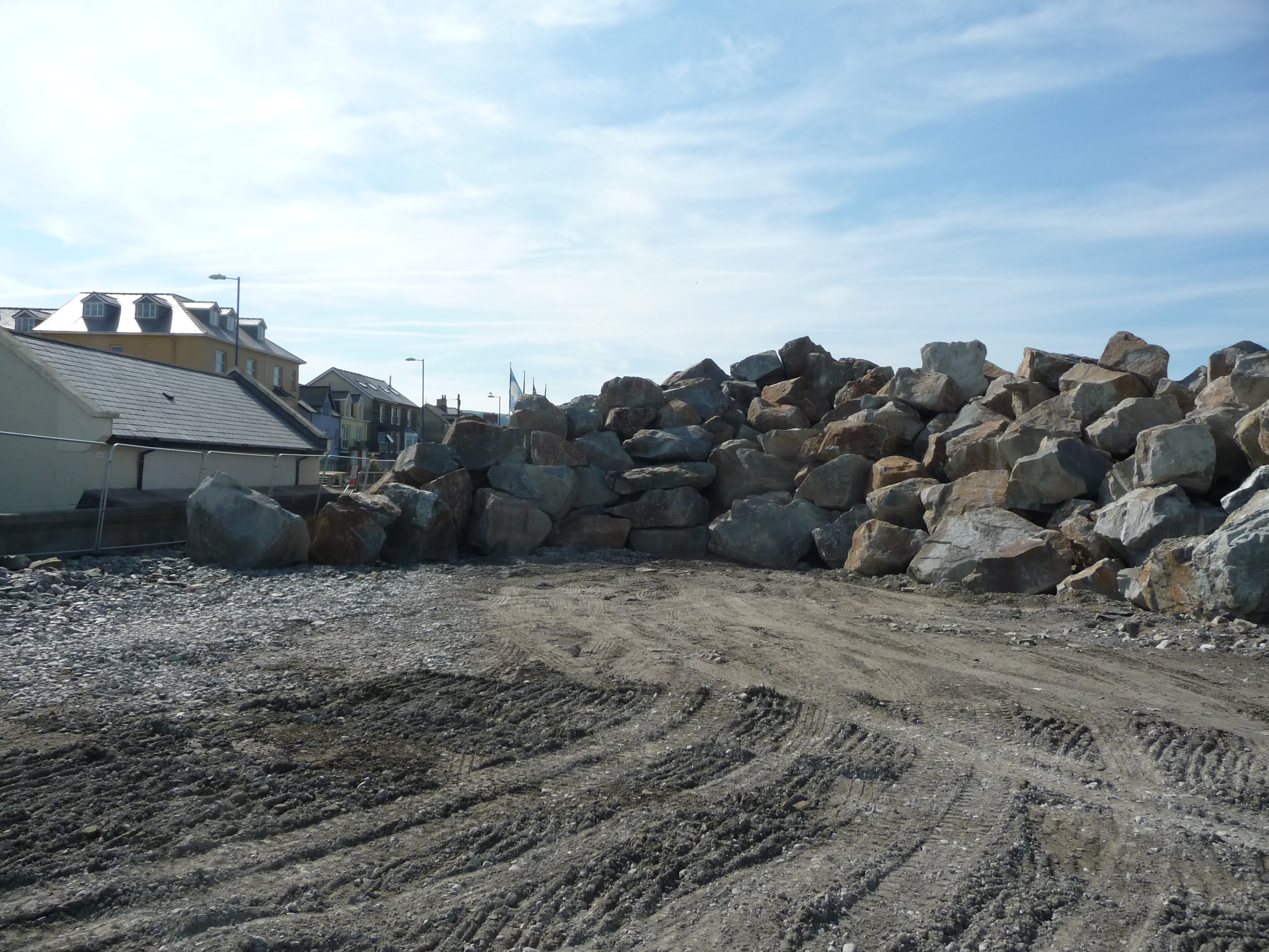
Stockpiled rock for the next structure to be constructed
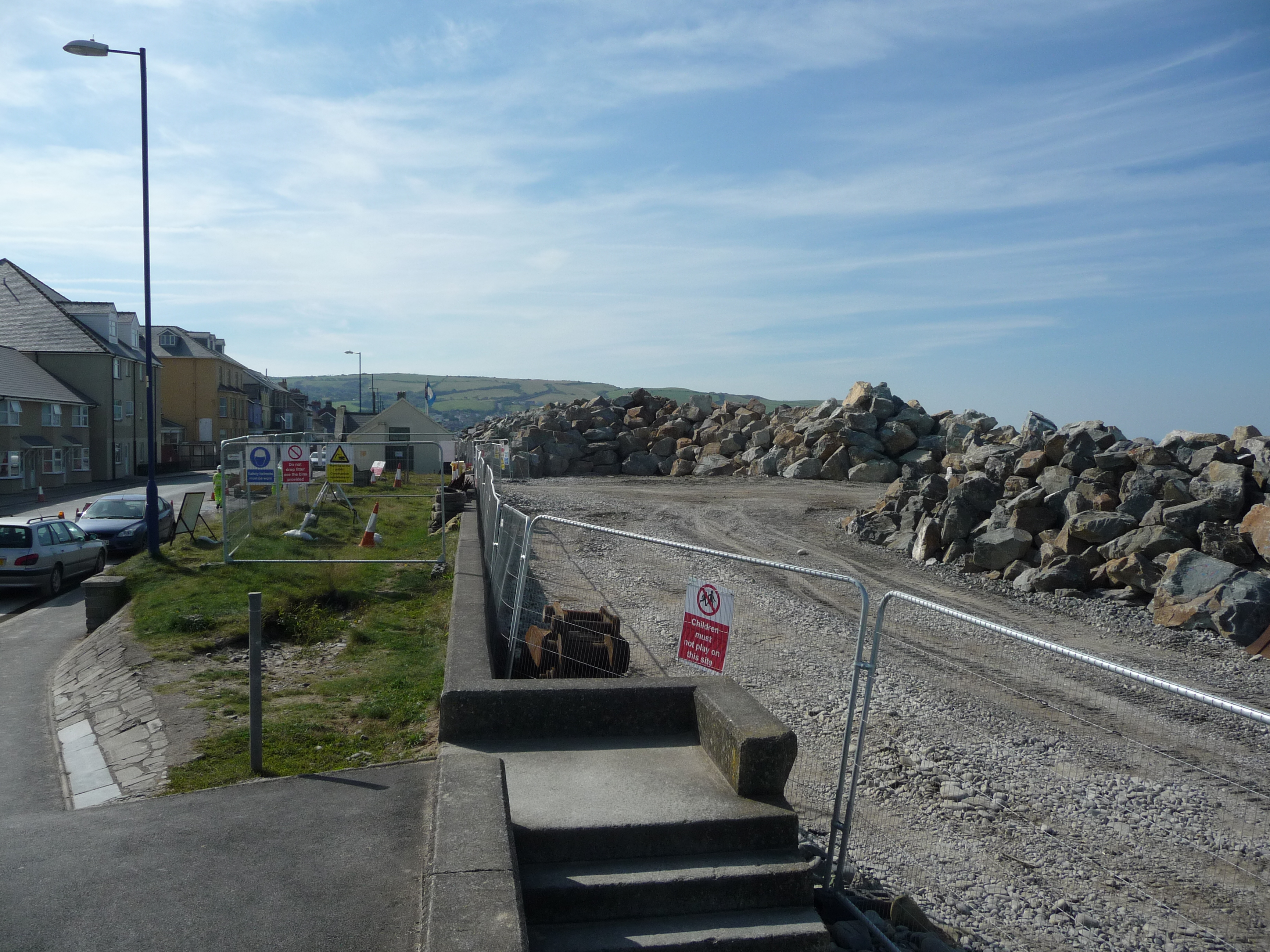
Rock brought in by lorries is stored here, by weight and size for distribution to groynes and breakwaters
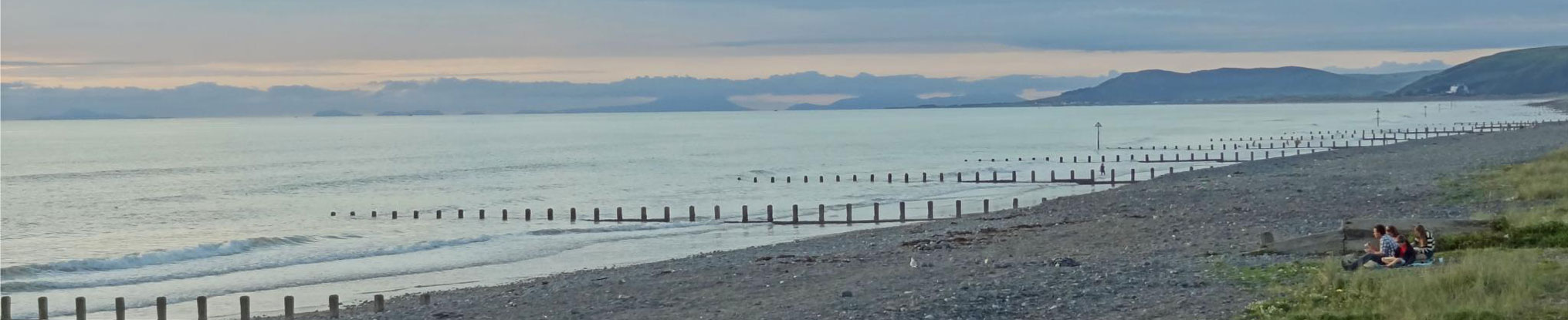
The road to access to the structures with very little traffic on the beach sand to preserve the ancient sunken forest.
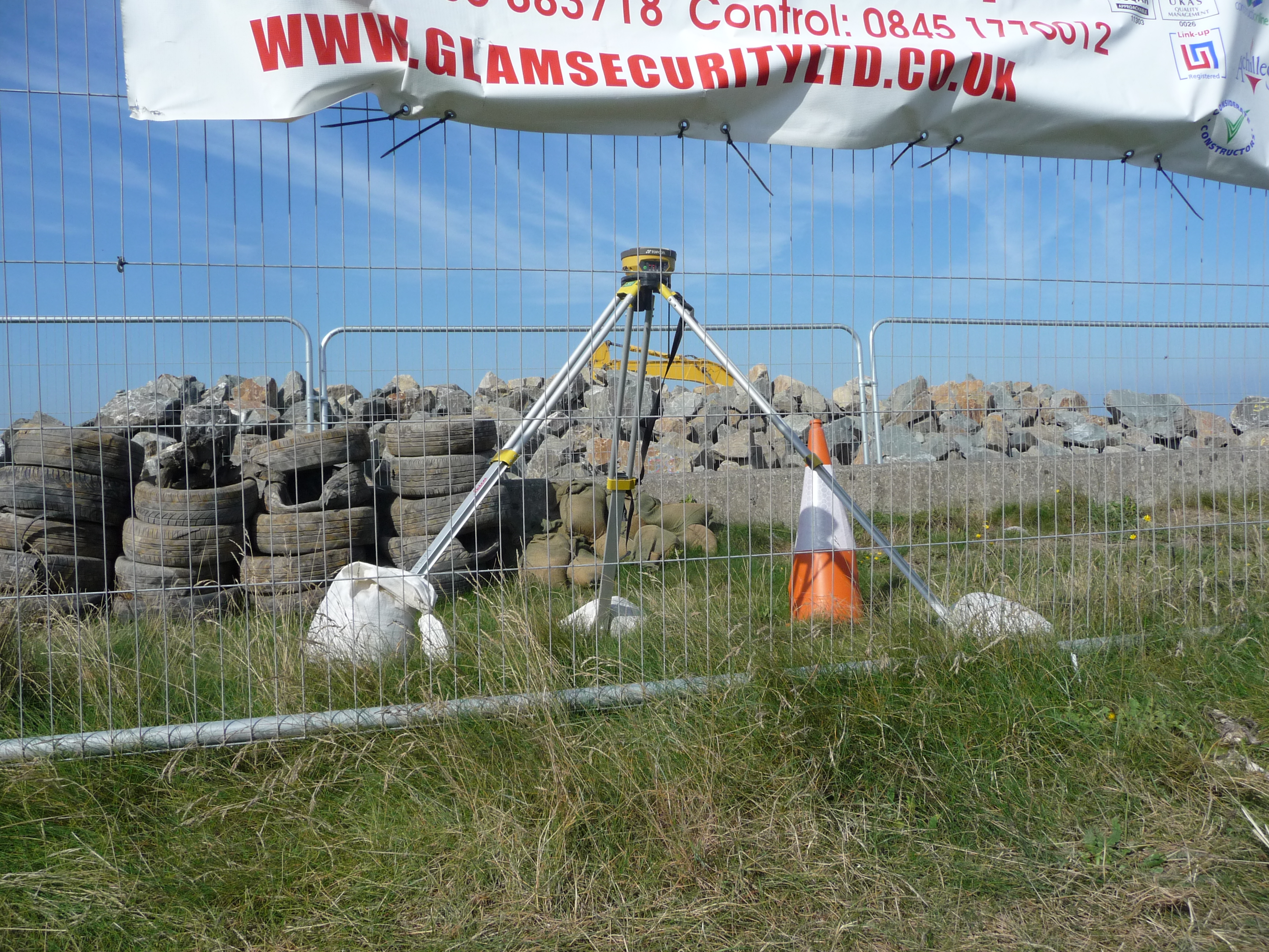
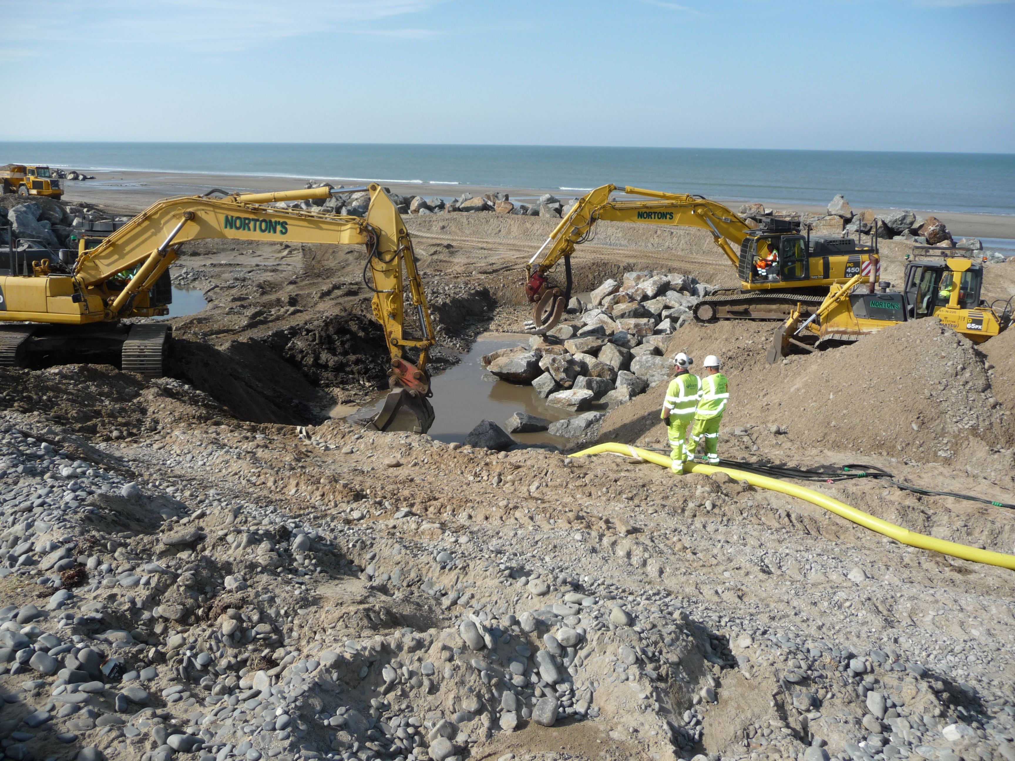
Excavators are wirelessly connected to GPS equipment for accurate positioning of rock on structures
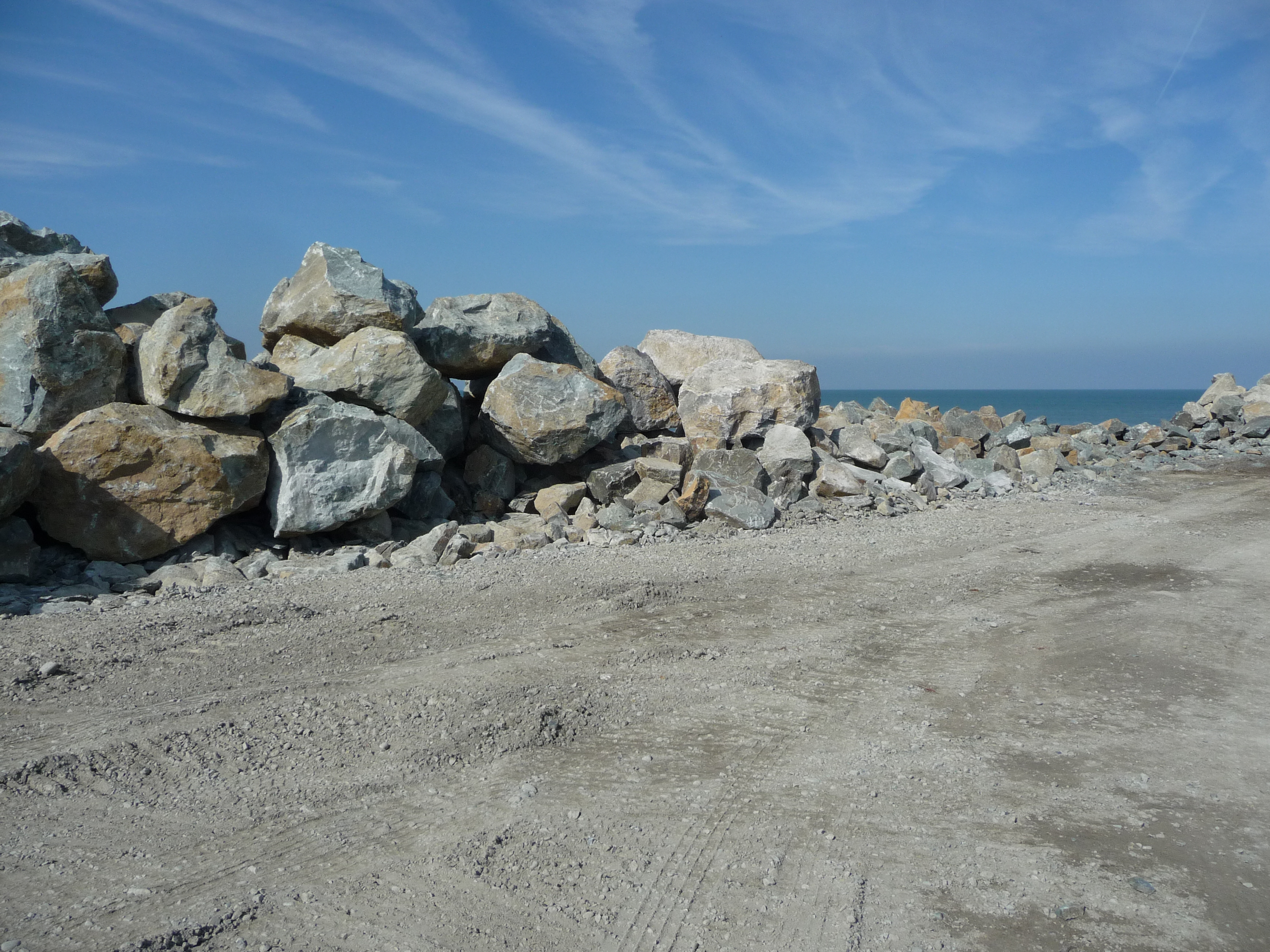
Stockpiled 4-6 ton rocks
All the rocks are placed in position so there is lttle risk of accidents due to falling rocks.
- Hits: 8862